Assessment of Current Ice Conditions Relevant to Distribution and Access of Walrus
Near St. Lawrence Island
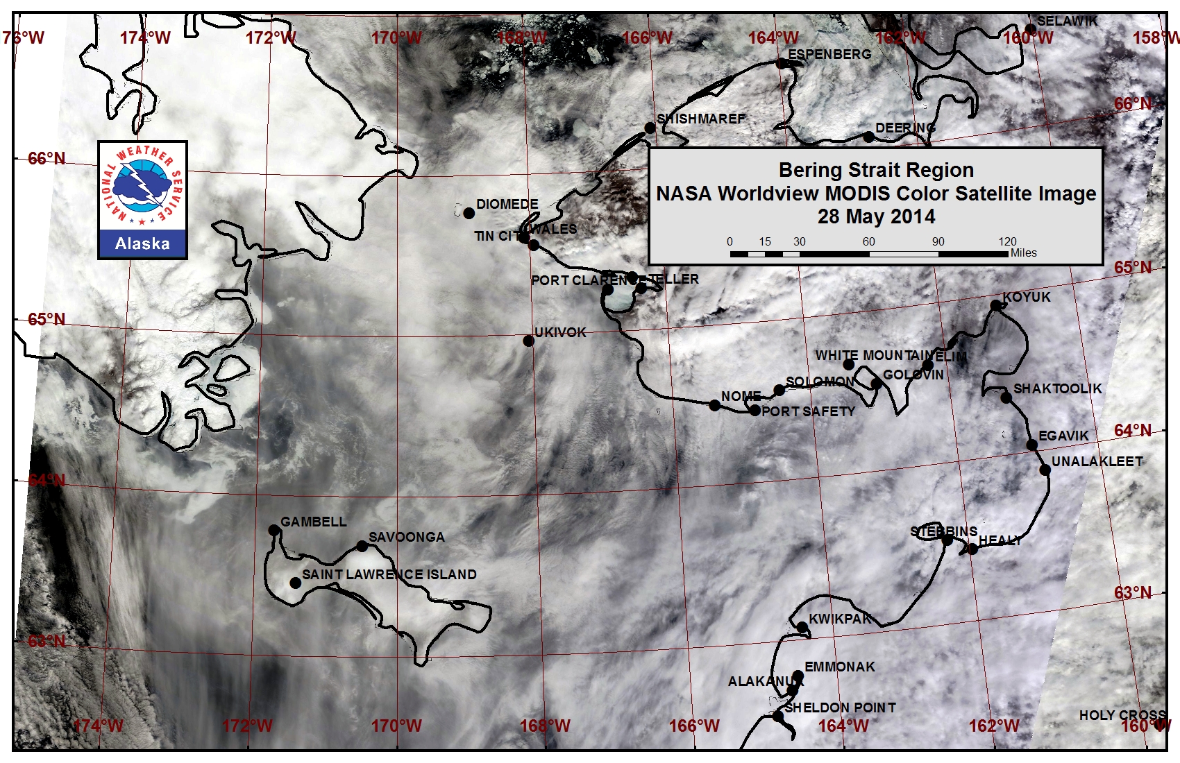
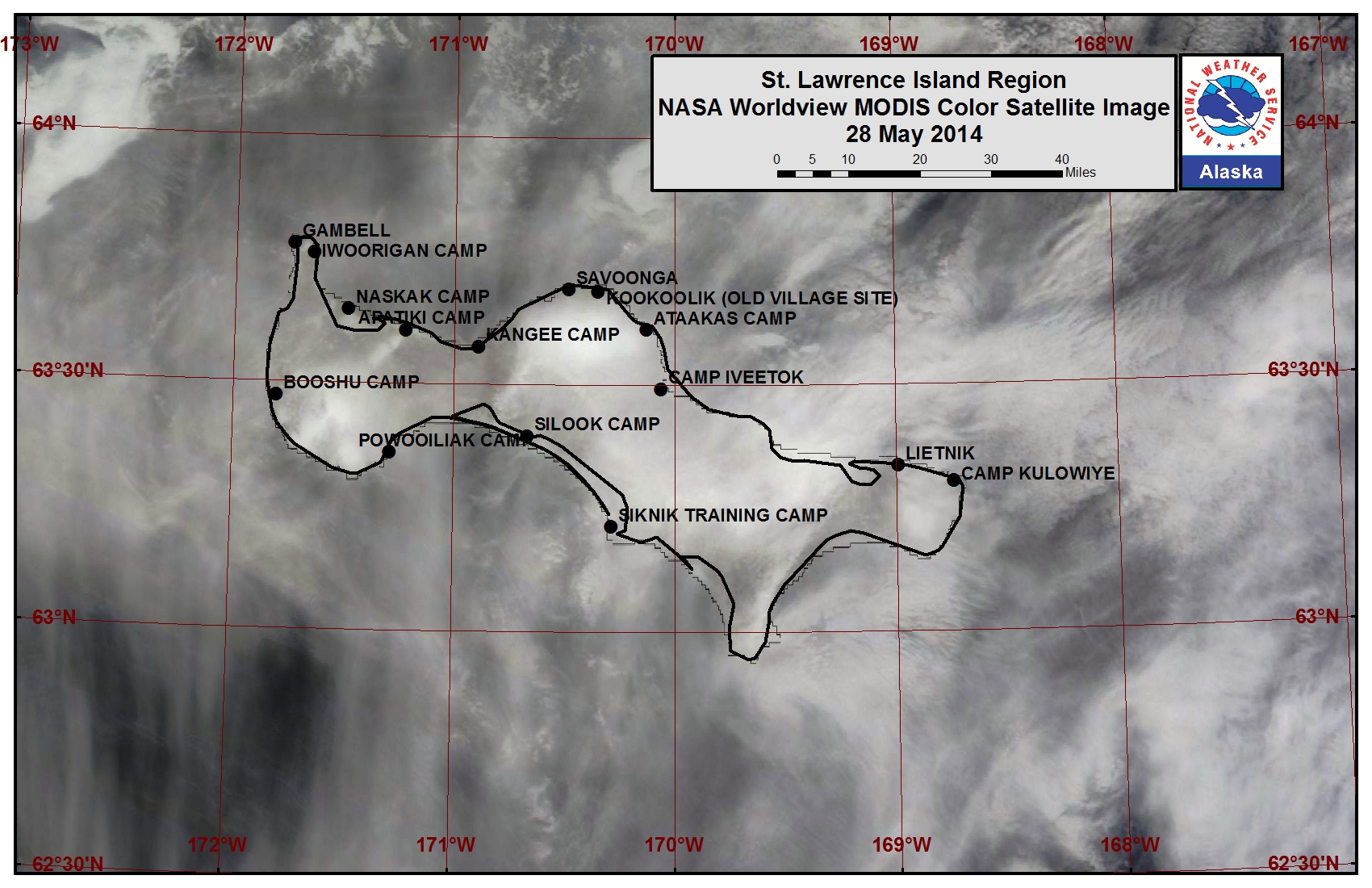
Sea ice floes remaining in the northern Bering Sea continued to melt quite dramatically this past week. Sea ice remaining in the lagoons along the southern coast of St. Lawrence Island is continuing to melt. The previously shorefast sea ice along the northern coast is continuing to melt out from the shore as it also destabilizes and breaks off. St. Lawrence Island is sea ice free to the west, south, and east. Very open pack ice consisting of brash ice and broken pieces of shorefast ice lies within 2 to 10 miles of the northern coastline, and open pack ice lies just beyond this area.
Wales to Shishmaref
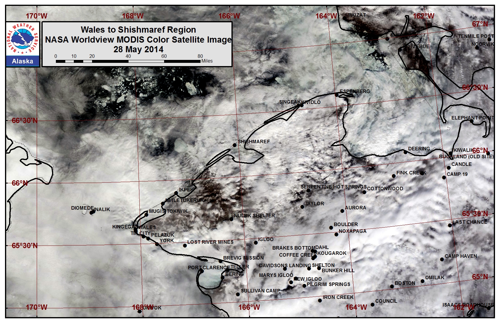
The outer extent of the shorefast ice near Ikpek continued to destabilize this past week and the minimal shorefast ice remaining from near Wales to Ikpek is expected to break off in the next week. Sea ice within the lagoons is melting in place. Very open pack ice lies beyond the remaining shorefast ice edge from Ikpek to Shishmaref and close pack ice is currently shifting through the eastern half of the Bering Strait.
5 to 10 Day Forecast
Weather System/Wind Synopsis
A low-pressure system will be located in Western Alaska Friday, 30 May with moderate northerly winds of 25 to 30 mph (20 to 25 kt). The low will slowly weaken and move north on Saturday with winds remaining moderate northerly at 30 to 35 mph (25 to 30 kt). The winds will switch to the west and weaken greatly Sunday, 1 June as high pressure builds in the eastern Bering Sea while a low builds over Eastern Russia. West winds of 15 to 20 mph (10 to 15 kt) will prevail Sunday. As the high in the Bering and low in Eastern Russia continue to build, winds will become southwest at 15 to 25 mph (10 to 20 kt). These winds will continue through Wednesday, 4 June. The Eastern Russia low will move into the Arctic on Thursday (5 June) as the high over the Bering Sea dominates the weather. The winds will diminish and be more westerly at 15 to 20 mph (10 to 15 kt). High pressure breaks down over the Bering Sea and moves a bit west as a couple low-pressure systems move through the northern Chukchi Sea. Winds will become northerly around 20 to 25 mph (15 to 20 kt).
Temperature Trend & Ice Forecast
Temperatures during the period will be near normal with overnight temperatures ranging from the lower to mid 30s over the Bering Sea to the upper 30s along the west coast of Alaska. The daytime temperatures will range from the mid 30s over the Bering Sea to the mid to upper 40s along the west coast of Alaska. Due to seasonal temperatures increasing, ice melt out will continue for thinner ice. Shorefast ice will become more unstable and continue to break off. Due to the stronger northerly flow during this period, some ice will push through the Bering Strait into the area from the Bering Strait to the northern coastline of St. Lawrence Island during the week.
Arrows show wind direction and wind speed in knots


Remote Sensing Images


Observations and Comments
Observations of Sea Ice Development
Observations from Shishmaref
3 June 2014 - Ken Stenek
Sunday morning at about 4:00 a.m., southerly winds caused a large crack about two miles long to form in front of Shishmaref, just within a mile of the beach. That chunk of ice broke up and hunters are now launching their boats out front a little more than 3/4 of a mile.
31 May 2014 - Ken Stenek
Rain has softened the ice here in Shishmaref enough that the hunters are now waiting for the ice north of Shishmaref to break up before venturing out again.
30 May 2014 - Curtis Nayokpuk
Daily rain and fog is hampering hunters, and the constant rain is making the sea ice weak and dangerous to travel over. All boats are back on beach edge ice. Forecasted northerly winds will keep sea ice along the shoreline and hunters will have to wait for breakup of shorefast ice and southertly winds to go out again due to rotting ice.
